Water
Supporting actions to improve the health, function and conditon of Tasmania’s aquatic assets (rivers, floodplains, estuaries, wetlands, waterbodies coastal and marine areas), to build resilience to threatening processes.
We rely on our water assets for clean drinking water, biodiversity, and aquatic ecosystem health. They support multiple primary industries, industrial uses, recreation and tourism. They also support infrastructure for hydro-electric power generation, drinking water supply and wastewater treatment, ports, and marine traffic. The built environment is concentrated near the state’s water assets.
Our water assets are under increasing pressure from the combined influence of climate change, development and land use change, human movement and population change, and ageing infrastructure. Climate-driven events (such as drought, bushfire and flood) will present ongoing issues in managing water resources.
A snapshot of Tasmania’s water assets
48
Water Catchments
10
Ramsar Wetlands
3,030
kms of Coastline
13
Marine Conservation Areas & Marine Parks
~150,000
kms of River Systems
Water Themes
RIVERS, FLOODPLAINS & ESTUARIES
The movement of fresh surface and groundwaters through the landscape supports ecological, economic, and social values. Ecological values of catchments and estuaries, and current and emerging threats in receiving waters are used to identify Priorities and Actions for rivers, floodplains, and estuaries.

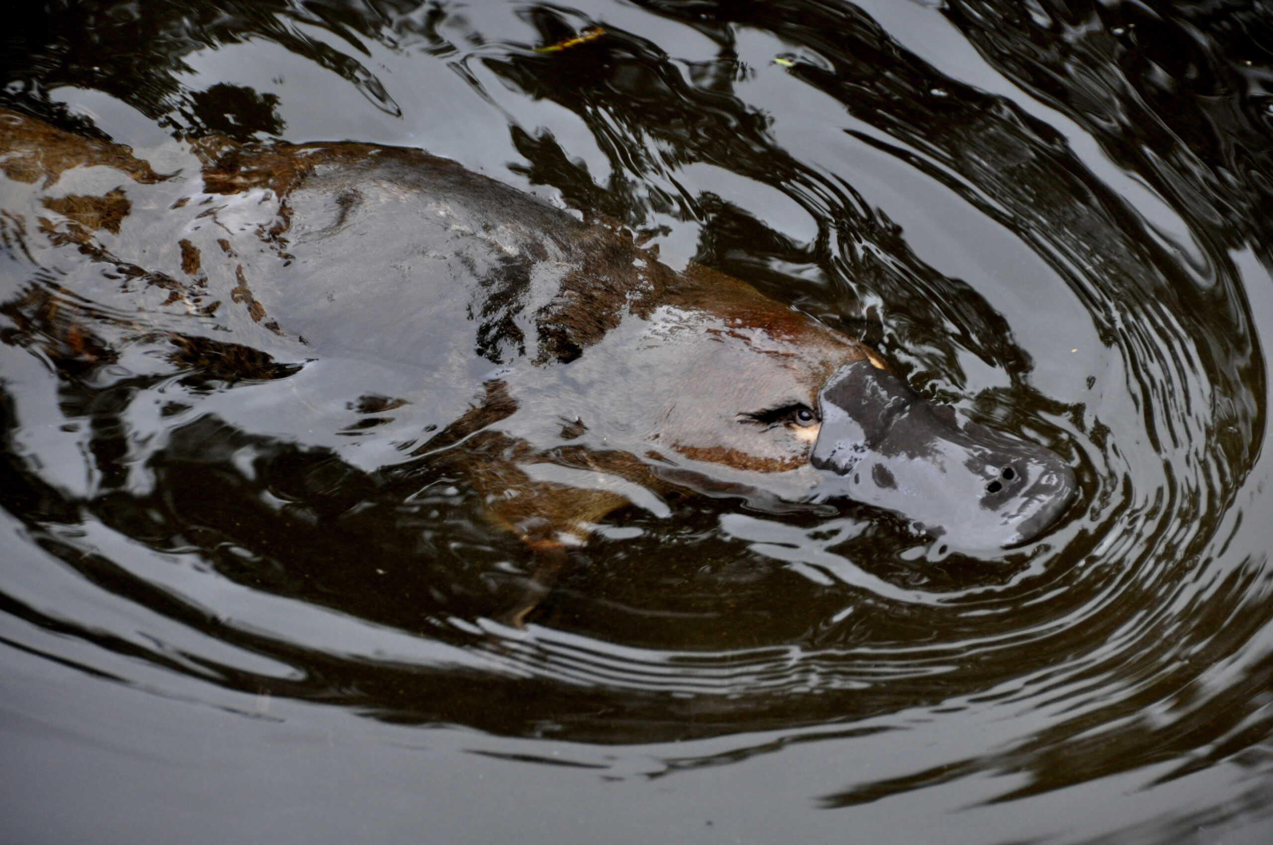
WETLANDS & OTHER WATERBODIES
Wetlands and other waterbodies include internationally recognised wetlands of significance under the Ramsar Convention, which support high-value ecological communities. Nationally and regionally important wetlands and other water bodies are recognised for their conservation value.
COASTAL & MARINE AREAS
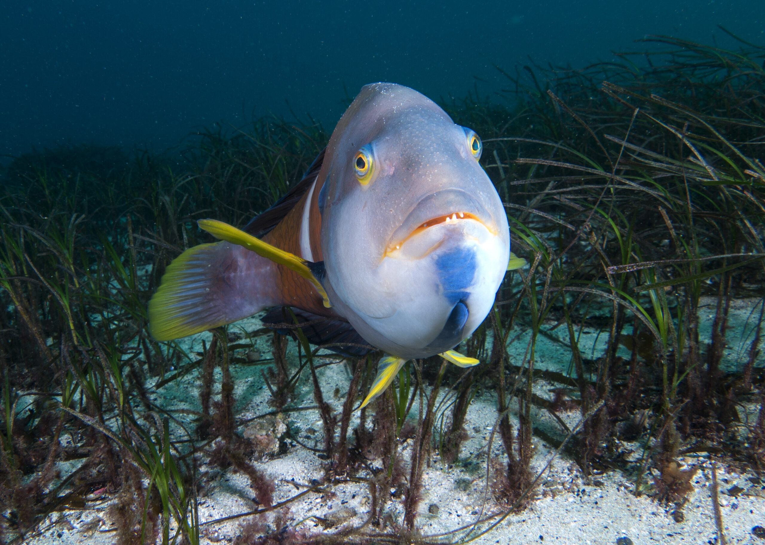
Coastal and marine areas encompass a variety of habitat types. Important coastal and marine areas can be identified by high value habitats or species. To enhance ecological, social, and economic values, identified Actions will build resilience to pressures and emerging threats across regional Priorities.
RIVERS, FLOODPLAINS & ESTUARIES
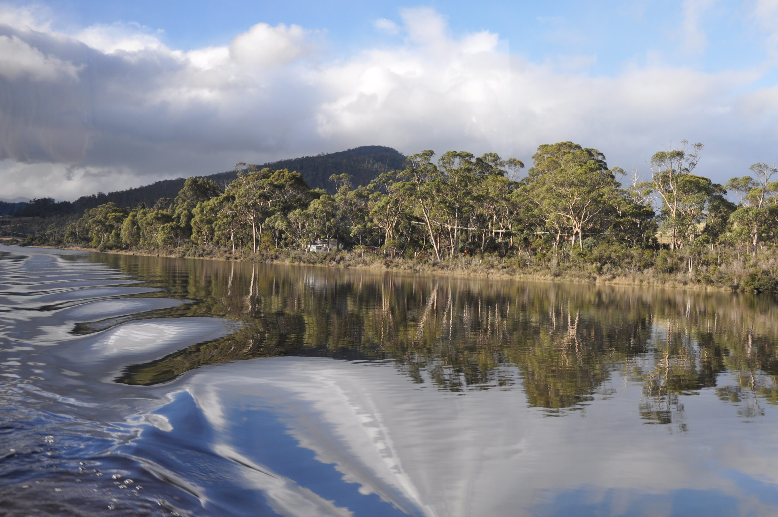
Our region’s rivers and freshwater surface flows support aquatic ecosystem health and biodiversity, primary production and industrial use, recreation, and tourism and are essential for the provision of clean drinking water. Southern Tasmania has 33 rivers containing sections of very high conservation status, and 26 undisturbed catchment areas. There are two large river systems wholly within the southern region (Derwent and Huon), with numerous other smaller and coastal catchments.
Our region contains examples of entire pristine catchments, as well as small rivers where the trajectory of water quality is declining but the system is not considered degraded. In other systems, human visitation is increasing, with implications for changes in water health and the introduction of invasive species and pathogens. The region’s 39 estuaries vary significantly in condition, use and disturbance, and conservation status. Five are of critical conservation status, with many being of high conservation status and in near pristine or largely unmodified condition.
Some coastal estuaries and their catchments support multiple and important social and economic uses, and human use and movement impacts upon flows and water quality. These areas provide essential links between terrestrial and marine environments as well as ecosystems services and processes.
WETLANDS & OTHER WATERBODIES
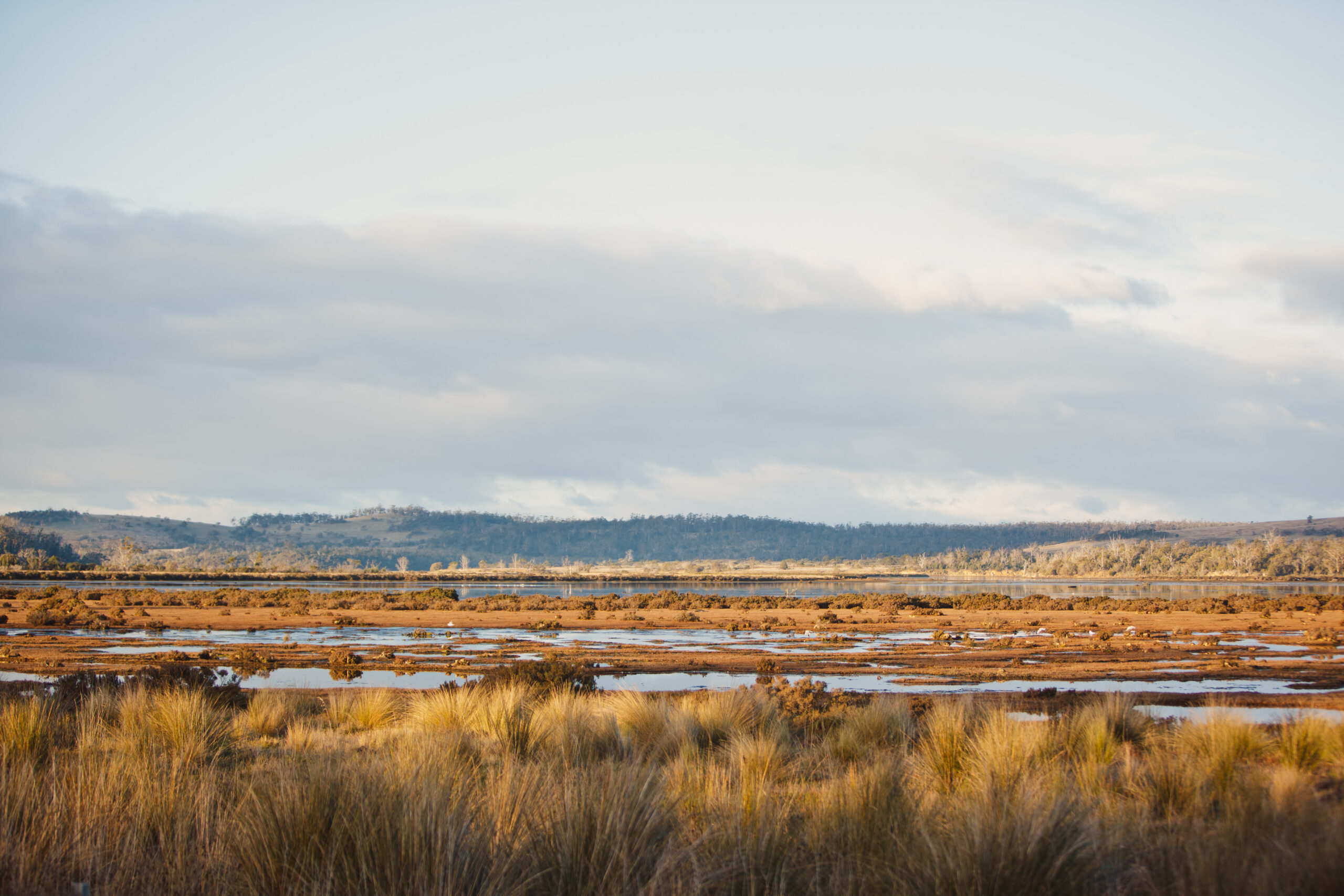
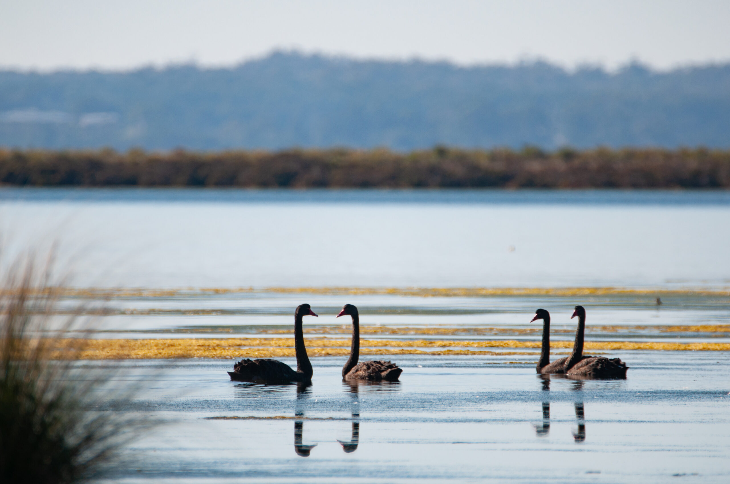
Our region hosts four internationally significant wetlands; Moulting Lagoon, Apsley Marshes, Interlaken and Pitt Water-Orielton Lagoon. These wetlands support biodiversity, including migratory birds, and sit within some of the region’s most significant agricultural landscapes, such as the Swan-Apsley and Coal River catchments.
Thirty of the region’s wetlands are listed in the Directory of Important Wetlands in Australia. Important wetland features include naturally saline as well as freshwater wetlands, especially in the southern part of the Midlands Biodiversity Hotspot Area.
NRM South’s Actions aim to maintain or improve (where feasible) condition or ecological character of Ramsar wetlands, and other nationally and regionally significant wetlands.
COASTAL AND MARINE AREAS
The southern region constitutes 39% of the Tasmanian coastline and the temperate marine waters of the southern region are home to a diversity of species and ecological communities. We are working to improve the management of coasts and marine assets, with an emphasis on increasing the adoption of management practices that enhance the adaptive capacity to be resilient to climate change and sea level rise.
Southern Tasmania supports a high concentration of marine scientific research organisations, bringing value to our understanding of coastal and marine processes and impacts of climate change and positioning Tasmania as a potential leader in marine natural resource management.
Coordinated management of the coastal and marine areas is critical as there are cumulative pressures on the environment from an increasing population, tourism, recreation, urban and industrial development and biosecurity risks, as well as climate change impacts such as sea level rise, storm surge, inundation, and erosion.