BACKGROUND
Dryland pastures comprise the majority of agricultural land use by area in southern Tasmania and support a significant amount of the state’s wool production. Incorporating some of Tasmania’s driest locations, with an annual average rainfall of less than 550mm, many of these areas have unpredictable rainfall patterns and are increasingly unreliable in times of drought.
Across these drought-prone landscapes, seasonal ground cover is reducing in some areas. This causes adverse outcomes for soils and can lead to land degradation, erosion and topsoil loss. Once degraded, landscapes can take a long time to recover. Without intervention, climate change and drought are likely to increase the risk of further declines in ground cover and the associated adverse effects on natural resources.
One of the most crucial decisions for livestock producers is determining how much grass they can grow in a season and then applying the appropriate stocking rate. Getting this right is key to effective ground cover management, which in turn protects the soil and supports improved drought resilience. Tools and strategies that assist farmers to make more informed decisions relating to stock and feed in a changing climate are essential to ensure the viability of our agricultural systems into the future. There are currently a range of grazing support tools available to producers with varying capabilities and functions, one of which is Farming Forecaster.
FARMING FORECASTER
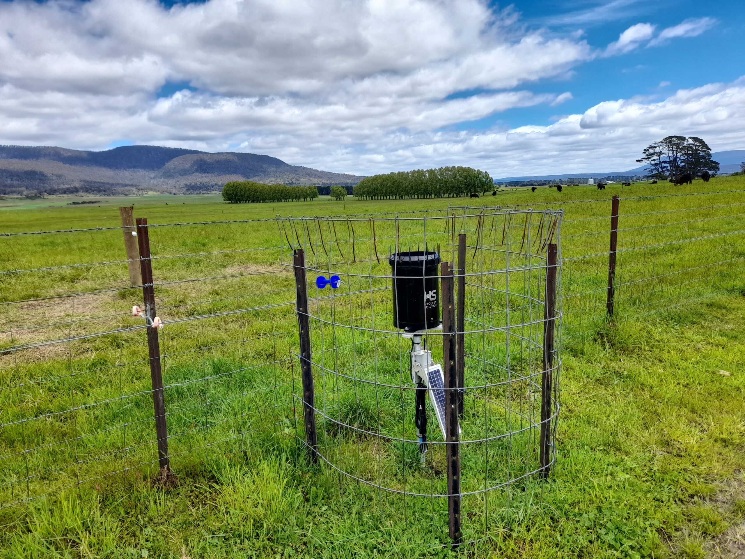
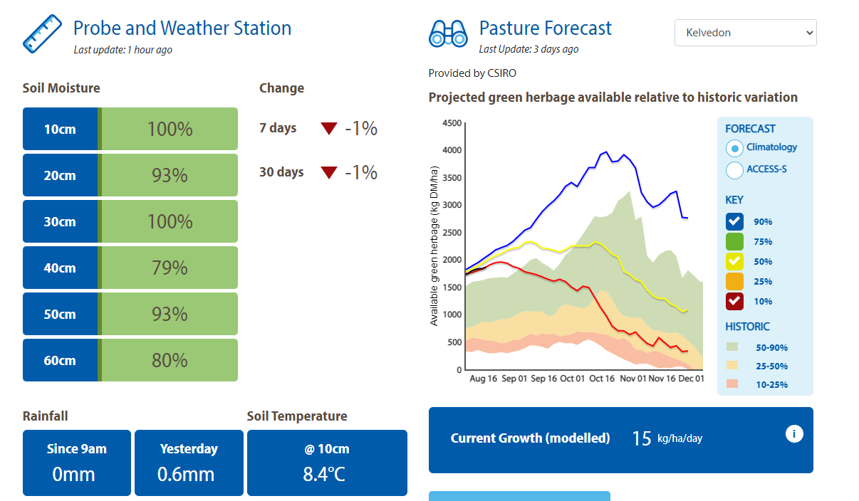
Farming Forecaster is a publicly available decision support tool for graziers. It was developed by multiple farming systems in NSW in close conjunction with CSIRO. This risk management tool provides a road map for pasture growth and livestock performance and comprises two key components. The first is soil moisture probes and rain gauge sites, situated in dryland pastures on participating farms, providing real time data on soil moisture, soil temperature and rainfall. The second is a pasture forecast showing likely pasture growth trends and availability for the next 3-4 months for each location. This information is generated by the decision-support tool GrassGro – a farm simulation model for pasture growth. Weather information is also provided and all key data is displayed in an easy to interpret format at https://farmingforecaster.com.au/
THE TASMANIAN FARMING FORECASTER PILOT
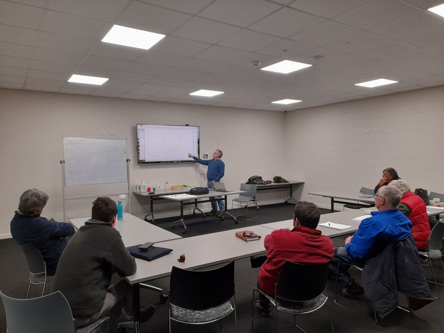
Over the past 18 months NRM South, in partnership with NRM North, has been delivering a pilot project on Farming Forecaster in Tasmania. The pilot is a first for Tasmania and has supported the development of a Tasmanian platform. Thirteen sites have now been established across Triabunna, Kelvedon, Cranbrook, St Marys, Fingal, Avoca, the Southern and Northern Midlands, and north Bruny. The project has also supported farmers and advisors to understand the benefits of Farming Forecaster, including how to interpret the data, identify trends and discuss ‘What if’ scenarios through a series of training workshops.
WHY IS NRM SOUTH SUPPORTING FARMING FORECASTER?
The initial project was instigated by the East Coast Primary Producers Association after their region experienced a three-year drought. It was clear from the outset that this tool was highly valued by primary producers and would likely have significant potential for improving drought resilience in Tasmania.
We believe Farming Forecaster effectively addresses seasonal ground cover decline. It assists farmers to make fundamental ground cover management decisions by matching stocking rates with available feed. This helps farmers plan ahead to avoid overgrazing and underutilisation of pastures and therefore supports the protection of our valuable soil and water assets.
The tool also gives us an opportunity to engage with commercial producers in a meaningful and tangible way and allows for further engagement around NRM landscape-scale and drought solutions. Farming Forecaster lets us play a key role in influencing regional landscape management design and provides all those involved in farming and natural resource management with improved data on climate and growing conditions. It can also help inform our on-groundwork to improve land management practices and manage a range of other issues such as bush fire management and mitigation. Ultimately Farming Forecaster brings improved understanding of challenging conditions for the agriculture and NRM sector, enabling the commercial success of Tasmanian farmers and effective management of natural resources.
Farming Forecaster has already demonstrated significant benefits to Tasmanian producers through the network of sites, with many graziers hoping to establish sites on their own farms. We believe interest in the tool will continue to grow with an ever-increasing network of sites. NRM South recently secured additional funding from the Australian Government to continue developing the tool in Tasmania through a State-wide roll out in partnership with NRM North. Key learnings from this pilot will inform the larger roll out of Farming Forecaster and will be shared with all drought-affected communities and the Future Drought Fund Adoption and Innovation Hub.
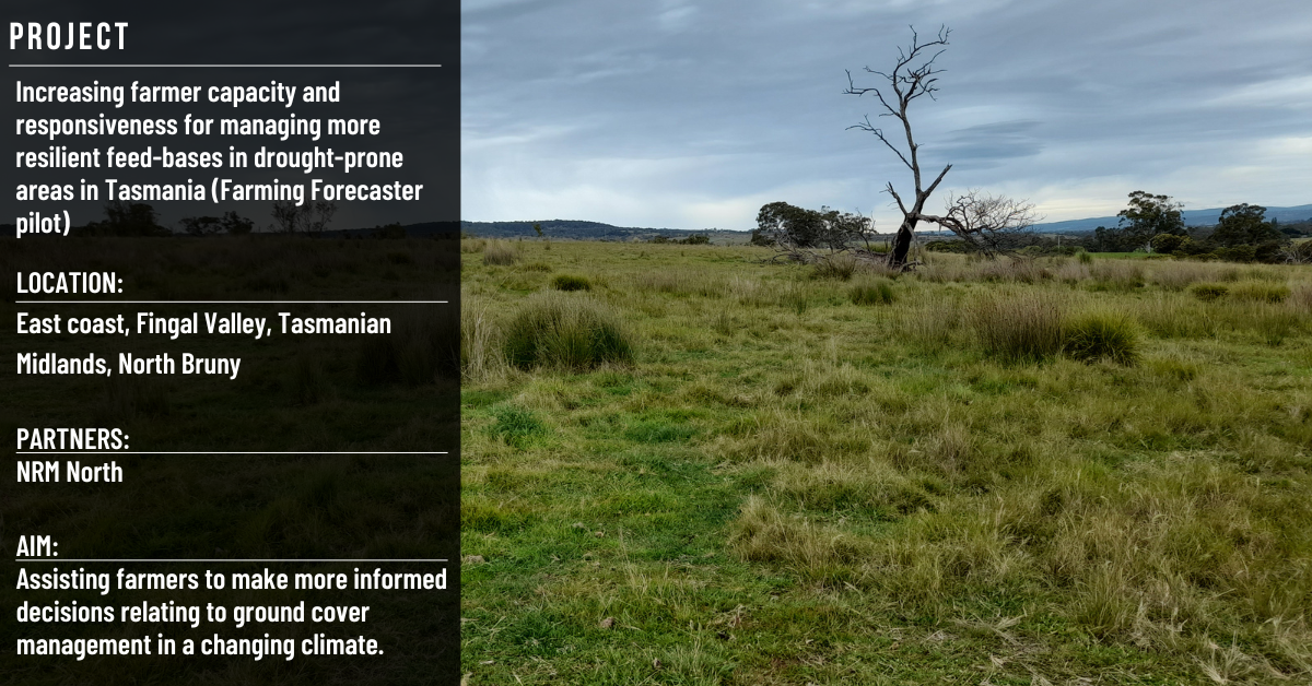
The Farming Forecaster pilot is a component of NRM South’s Regional Land Program’s ‘Increasing farmer capacity and responsiveness for managing more resilient feed-bases in drought-prone areas in Tasmania’ project, funded under the Australian Government’s Future Drought Fund.