National Soil Monitoring Program
Monitoring Tasmania’s soils
The National Soil Monitoring Program (NSMP) is a significant initiative aimed at tracking soil health indicators across Australia to better understand soil condition and long-term trends.
As the regional delivery partner for CSIRO, NRM South is responsible for coordinating soil sampling efforts across Tasmania in collaboration with partners NRM North and Cradle Coast Authority.
Healthy soils are the foundation of productive landscapes, supporting food security, biodiversity, and carbon sequestration. With Tasmania’s unique soils and diverse land uses, regular monitoring is vital for identifying trends, challenges, and opportunities to enhance soil management.
The project’s long-term vision is to make soil data publicly accessible, ensuring that landholders, researchers, and policymakers have the tools and knowledge necessary to maintain and improve soil health for future generations.
Our Approach
For our Soil Monitoring Tasmania Program, we take a science-based, collaborative approach to soil health monitoring.
- Contributing to National Soil Research & Support Evidence-Based Decision-Making by supplying high-quality soil data to national databases (e.g., ANSIS) to enhance broader research, policy development, and long-term soil sustainability efforts;
- Enhancing Landholder Engagement and Soil Stewardship by working with farmers and landholders to improve awareness and strengthen their understanding of soil health, while also expanding community involvement beyond our existing NRM South networks, and;
- Building Soil Sampling and Monitoring Capability by strengthening the skills and expertise of NRM soil sampling teams in Tasmania, ensuring consistent and high-quality soil data collection and knowledge exchange.
PROJECT PILLARS SOIL EXTENSION
Background
Tasmania’s diverse landscapes play a crucial role in supporting the state’s economy, environment, and way of life. Soil Monitoring Tasmania was established under the NSMP to address the growing need for reliable, consistent soil data. By building on existing knowledge and fostering collaboration between land managers, the program strengthens Tasmania’s ability to respond to soil health challenges.
The NSMP will help address Priority 1 of the National Soil Action Plan. This priority refers to the development of an ‘agreed national framework to support the measurement, monitoring, mapping, reporting and sharing of soil state and trend information, to inform best practice management, decision making and future investment in soil’. The work also supports goal 3 of the National Soil Strategy (2021) to ‘strengthen soil knowledge and capability’.
For more information, refer to the following links:
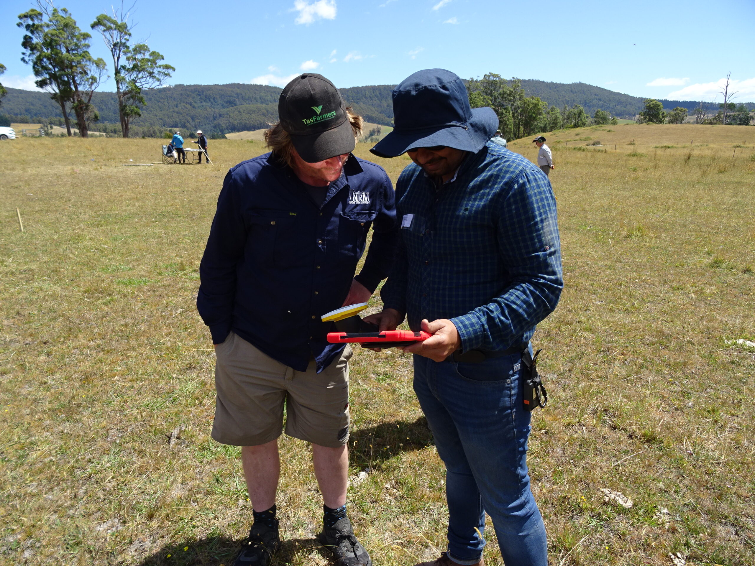
Landholder Selection Process
A soil monitoring network has been established across Australia to identify sampling sites that represent a broad range of soils, landscapes, climate and land uses. The sampling design used national soil, climate and vegetation datasets to identify site locations. Through this process, a monitoring site suitable for soil collection has been identified at these locations.
Participating landholders will actively contribute to a national, enduring knowledge base on soil data which will have multiple ongoing benefits. Subsequent monitoring will facilitate knowledge of the soil health and trends of soils of both the landholder’s own site and other sites across Australia. The information gained will assist researchers in identifying key opportunities for soil improvement.
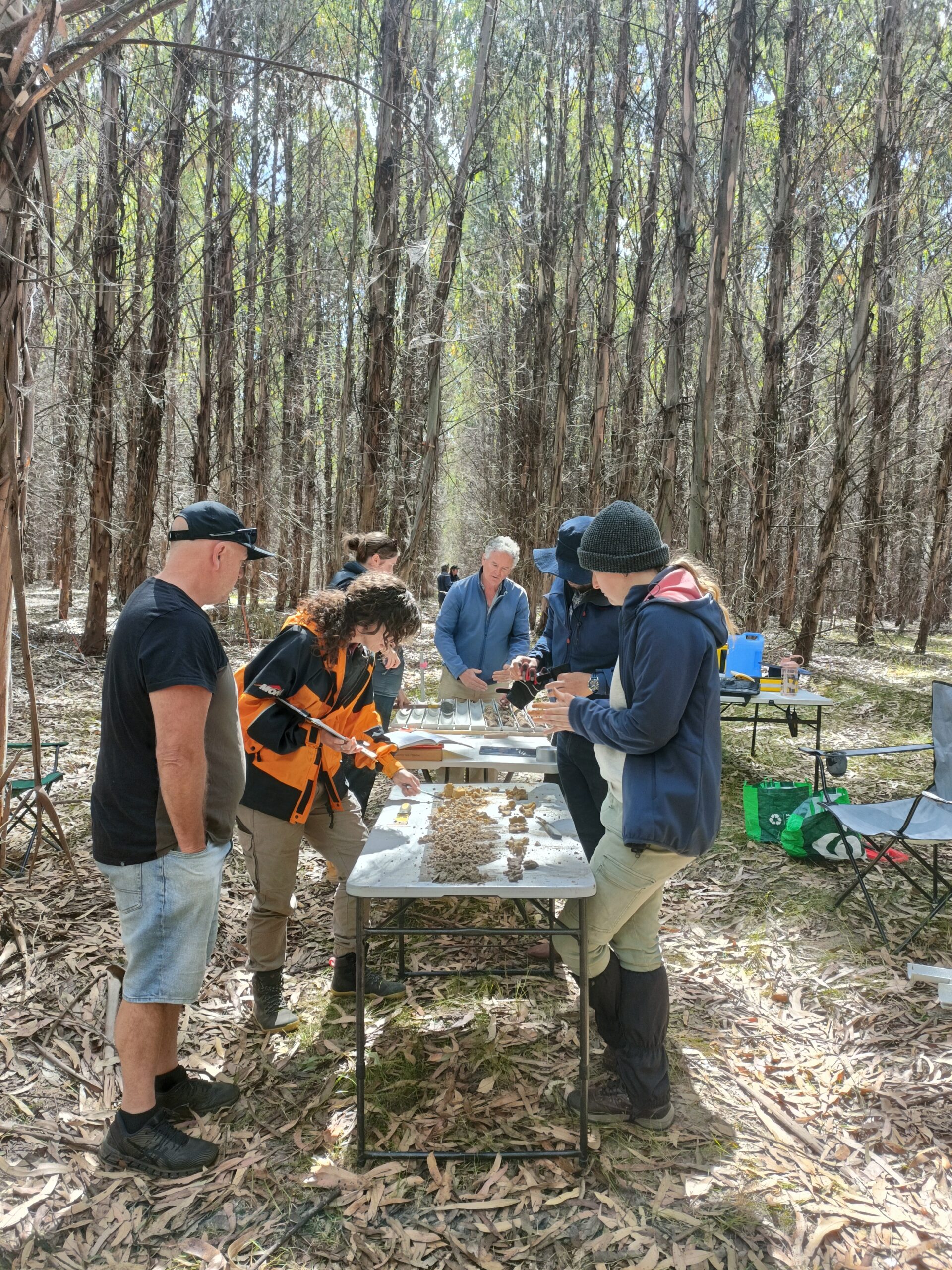
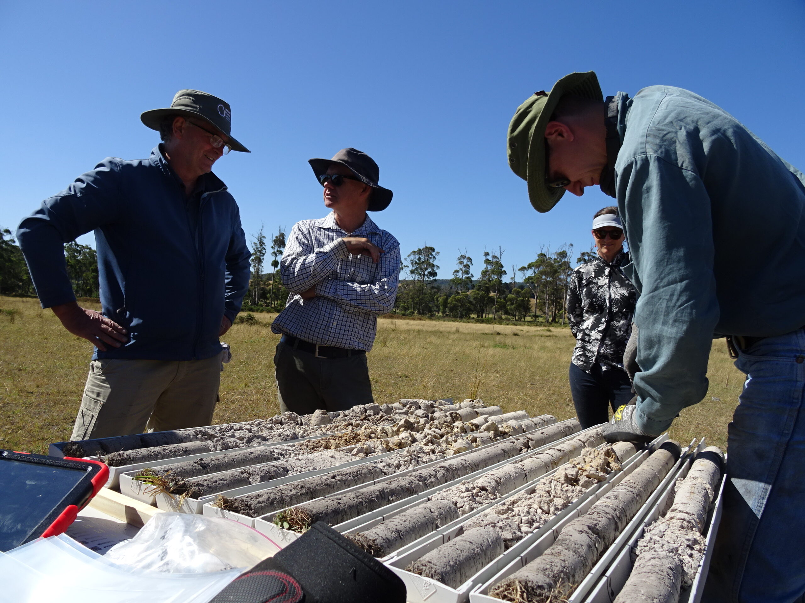
The Soil Sampling Process
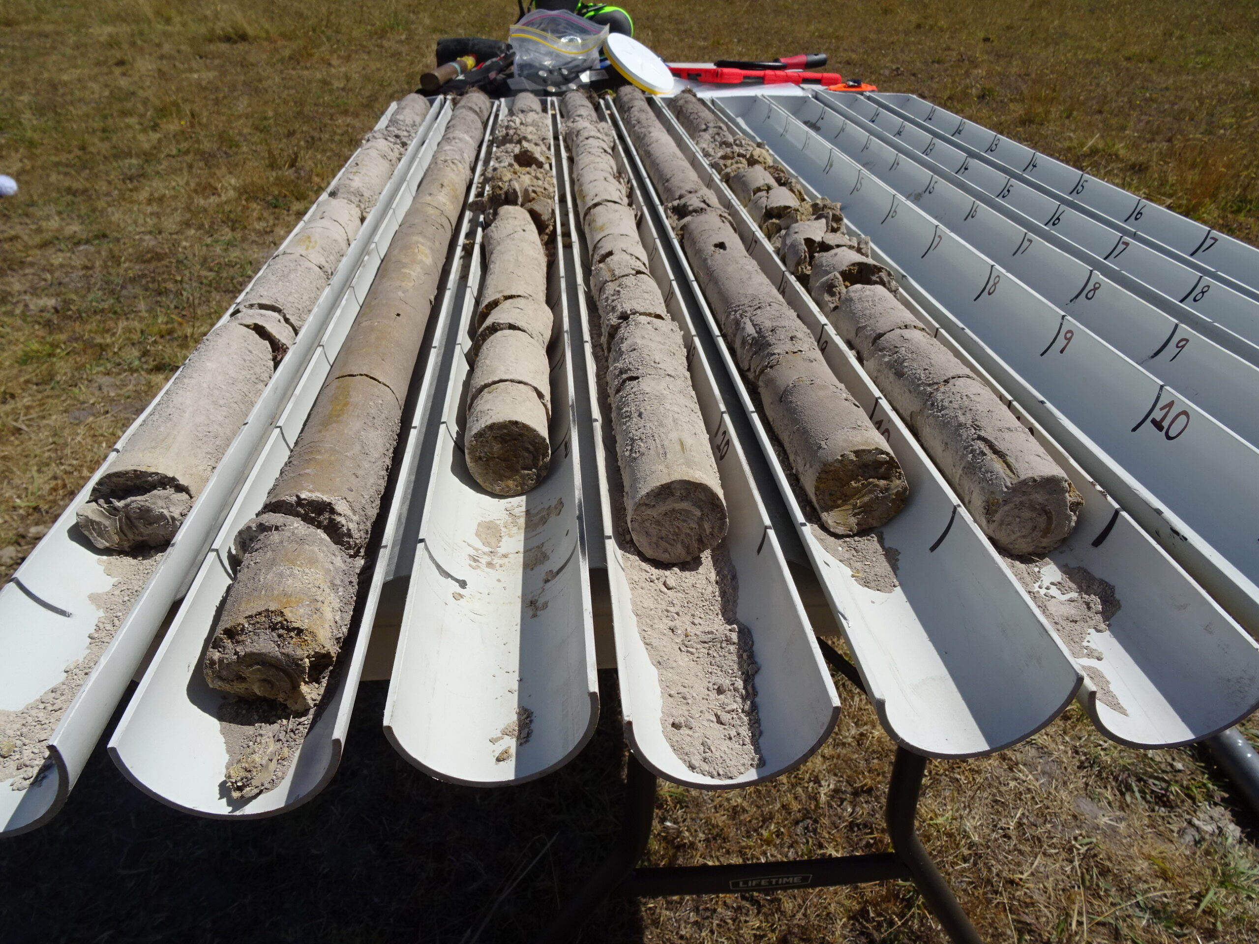
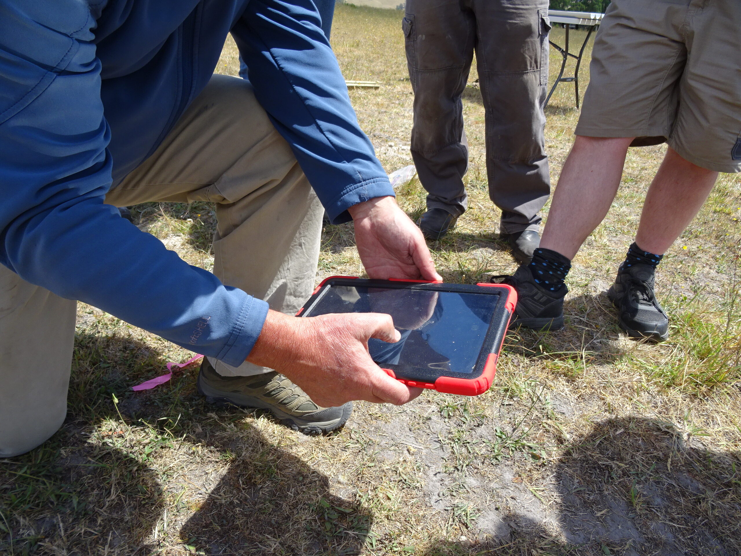
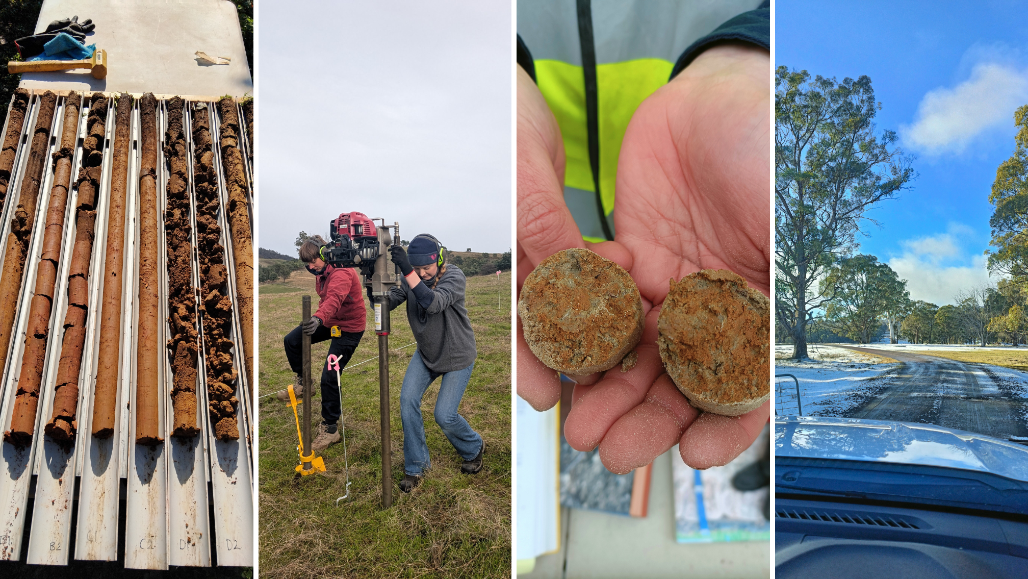
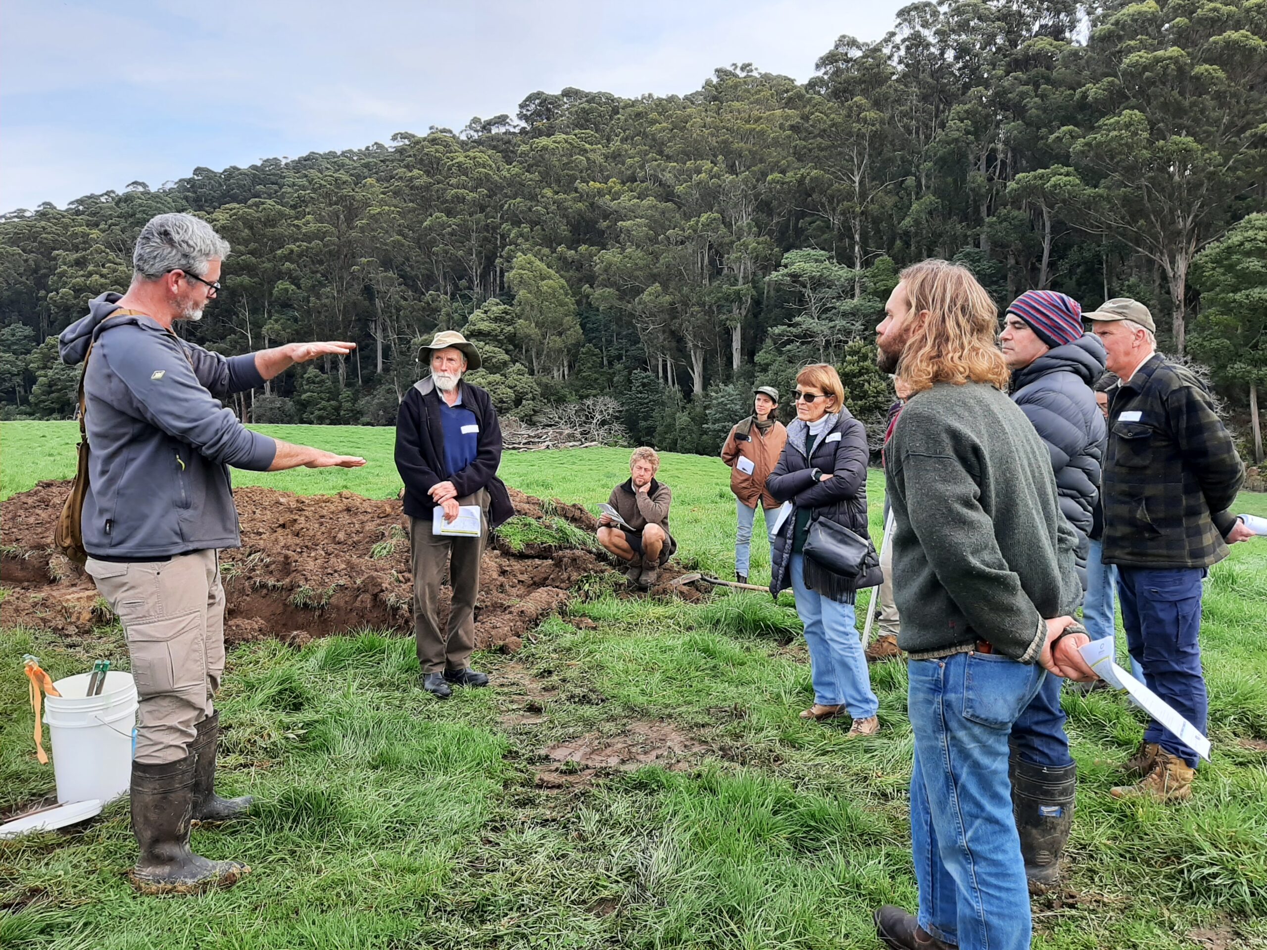
Our regional soil teams will collect high-quality samples from 202 sites across Tasmania, following rigorous national standards. Each selected site undergoes a carefully planned and consistent sampling process. Soil is collected from a 25m x 25m plot, where multiple core samples are extracted to a depth of up to one metre. The soil cores are collected to a GPS accuracy of <1 metre. These samples are gathered using specialised equipment designed to minimise soil disturbance. Once sampling is complete, all soil core holes are backfilled at the end of the visit.
The collected samples are then sent to accredited laboratories for analysis of their chemical and biological properties, and some for their physical properties too. Once analysed, the soil samples will be archived in one of the National Soil Archives (e.g., ANSIS) where they will be available for future analysis is needed.
Project Goals

Strengthen our community networks

Collecting sample soils from 202 sites across Tasmania

Support landholders to make evidence-based decisions to improve soil health

Foster community awareness and engagement in soil conservation with landholders

Establish a comprehensive baseline for monitoring soil health over time

This project is in line with the United Nations Sustainable Development Goals
Related News
-

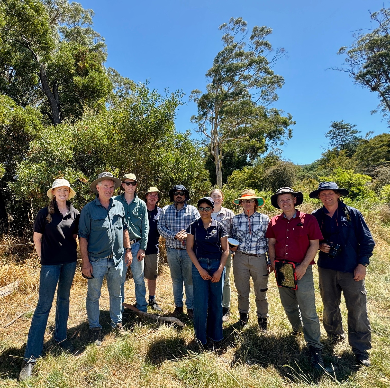
NSMP Training Group photo TAS
30 June, 2026 4 Min Read
Tasmanian soil monitoring milestone reached through national program
A major accomplishment for Tasmania’s soils Tasmania has achieved a significant milestone in the National Soil Monitoring Program (NSMP), becoming the first state in Australia to complete its full sampling...
Read More -
27 November, 2025 3 Min Read
A Day in the Field with our Land Team
In anticipation of World Soils Day on December 5, our Land Program Project Officer has offered a behind the scenes glimpse into what goes into a typical day of soil...
Read More -
10 September, 2024 1 Min Read
Giving soil health a boost
With the return of spring, the growing season starts gathering speed and NRM South welcomed the return of the spring growing season by hosting a workshop aimed at market gardeners...
Read More -
29 June, 2023 3 Min Read
Unlocking the Power of Soil: Soil Extension Project Cultivates Sustainable Land Management in Southern Tasmania
The Tasmanian NRM's Soil Extension Project has achieved remarkable success in raising awareness about soil health and promoting sustainable land management practices across Tasmania. Running from June 2022 to June...
Read More