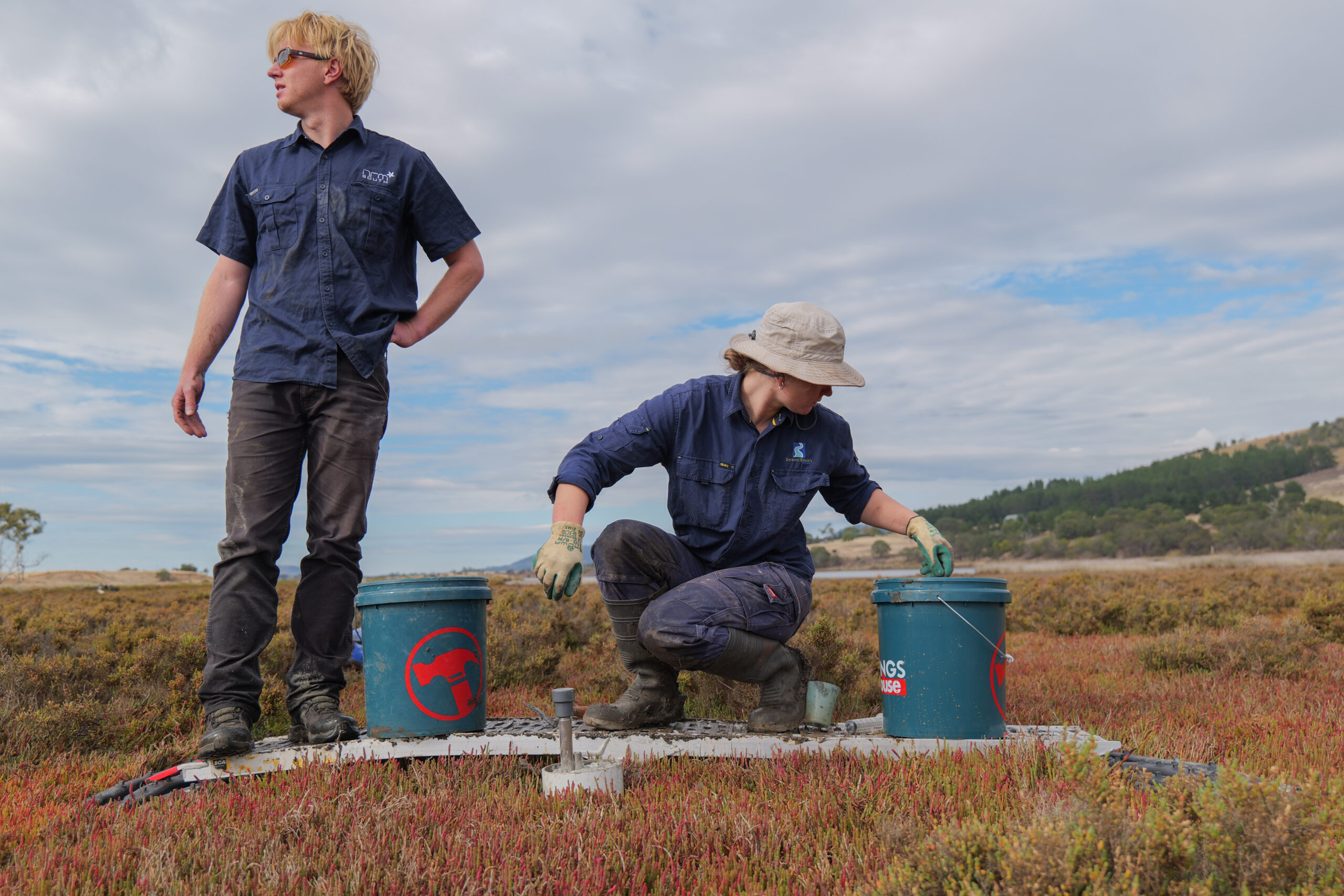
Tasmania’s first RSET devices installed across 3 saltmarsh sites
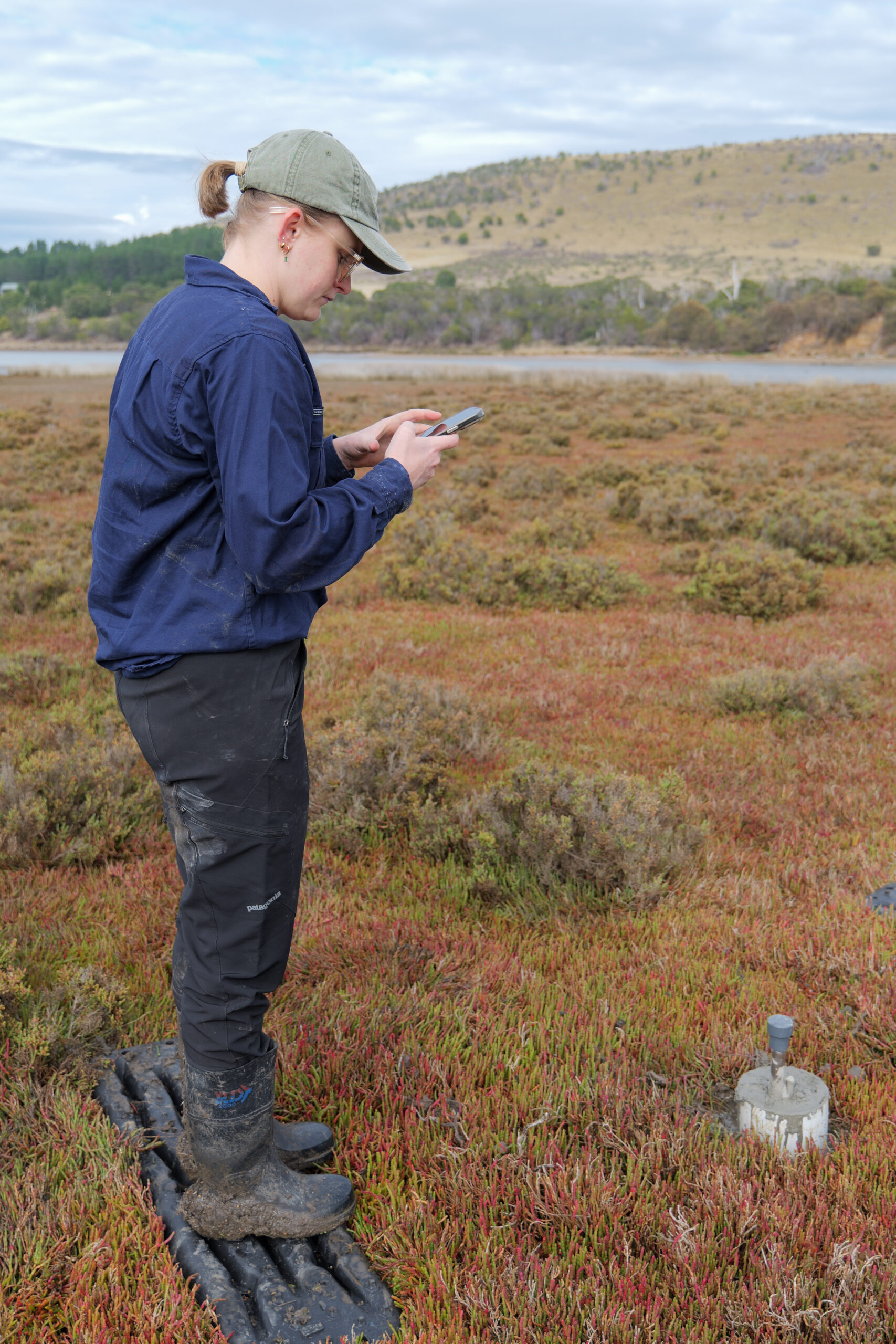
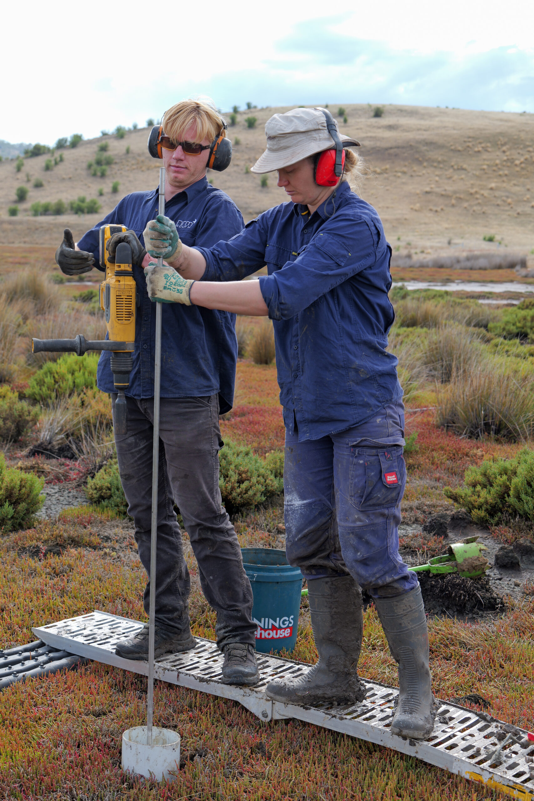
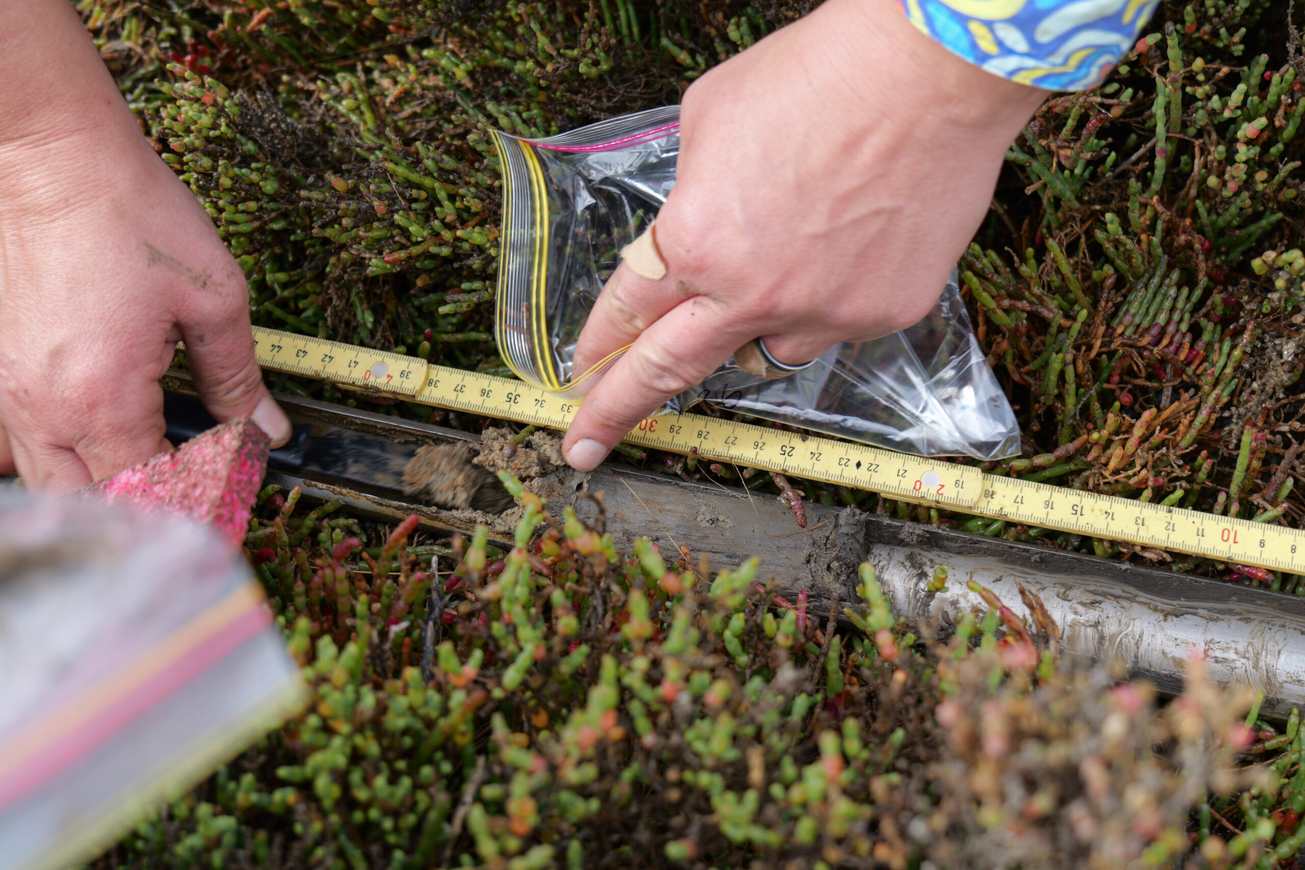
In late March, staff from our Water Program team, joined by Derwent Estuary Program and the University of Queensland, waded through sticky mud to install Tasmania’s first Rod Surface Elevation Tables (RSETs) across three saltmarsh sites in our southern region.
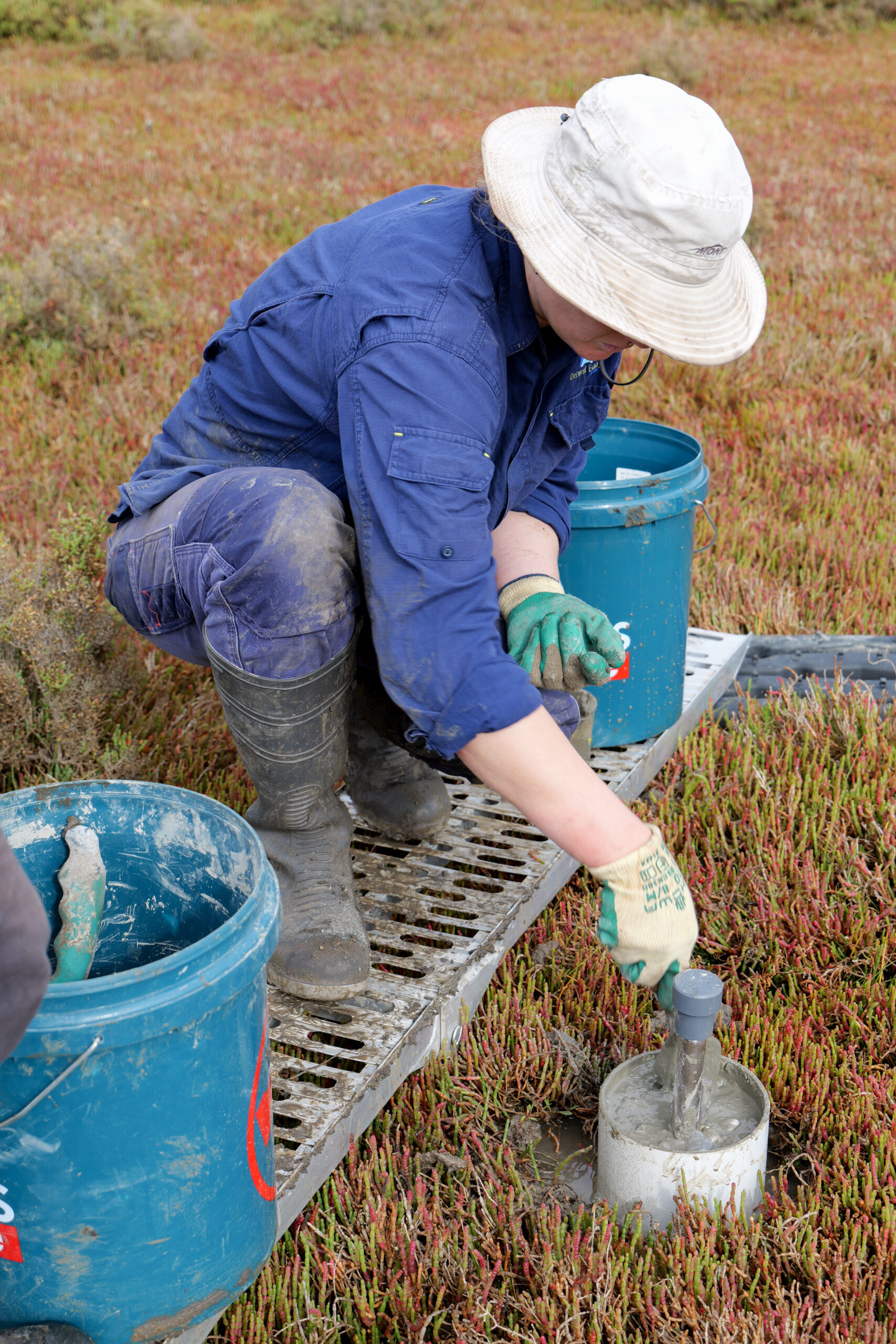
RSETs are a powerful tool for tracking how tidal wetlands change over time. They measure subtle shifts in surface elevation, helping us understand whether wetlands can keep pace with sea level rise, as well learn more about changes driven by sedimentation and vegetation growth.
These installations are part of OzSET, a national network of over 300 sites monitoring the health of Australia’s coastal wetlands in the face of climate change. These are the first RSETs in Tasmania, marking an exciting milestone for the state.
With wetland systems disappearing at three times the global rate of forests, these measuring devices will play a critical role in understanding how wetlands respond to sea level rise, addressing significant gaps in our knowledge about Tasmania’s wetland ecosystems and informing future conservation, restoration and coastal planning efforts.
One set of tables has been installed at our Richmond Park Estate restoration site. Following the removal of a historic levee, tidal flow has now been restored to more than 65 hectares of saltmarsh. These RSETs will help us track how the site responds and evolves over time, building a more comprehensive picture of the long term benefits of landscape-scale wetland restoration.
A big thank you to the University of Queensland and Terrestrial Ecosystem Research Network (TERN) for helping bring this important monitoring to Tasmania. We’re looking forward to seeing what the data reveals as we continue to monitor these sites into the future.