Saltmarsh Monitoring
NRM South, NRM North and Cradle Coast NRM worked with the University of Tasmania and Birdlife Tasmania to develop information and resources for coastal saltmarshes, including community-based monitoring projects, identification resources and detailed maps for all saltmarsh clusters across southern Tasmania.
Saltmarsh was declared an Ecologically Vulnerable Community under the EPBC Act in August 2013 and community monitoring is important for saltmarsh conservation efforts as there is a lack of detailed data on the diversity, condition or values of saltmarsh in Tasmania.
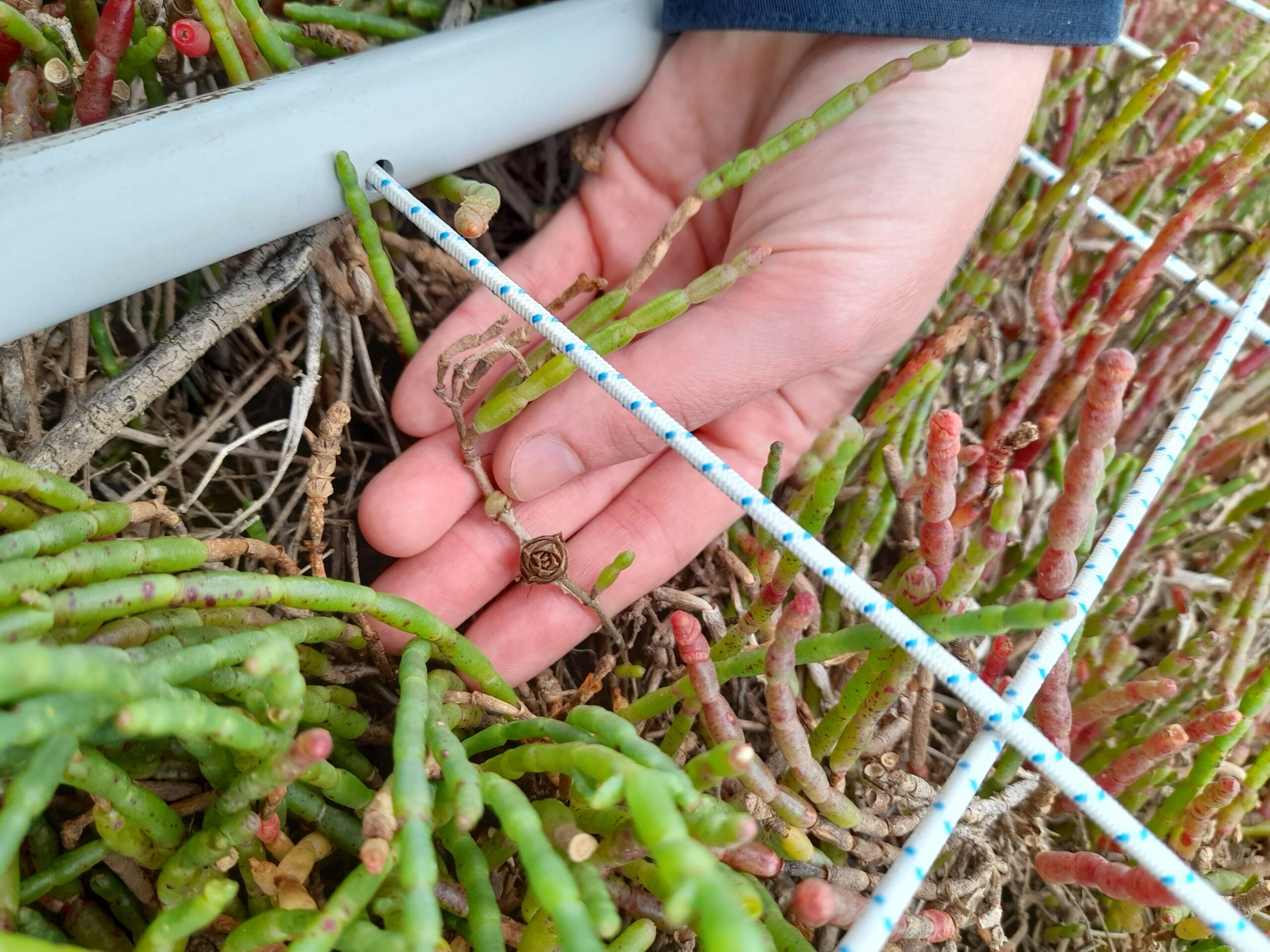
School groups, professionals and coastal groups are encouraged to conduct monitoring around October-April. Monitoring sheets have been developed to collect information on the composition of wetland plants in saltmarsh areas, bird observations and human impacts. These resources are all available in our resource library.
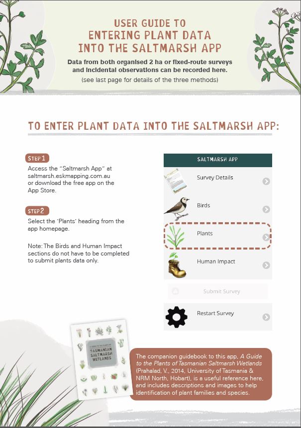
NRM South also funded the development of the Saltmarsh Matters App by Esk Mapping & GIS with support from UTAS, BirdLife Tasmania and NRM North. This app was officially launched by University of Tasmania’s Distinguished Professor Jamie Kirkpatrick as part of our World Wetlands Day Celebration 2016.
The Saltmarsh Matters monitoring project (2015-18) called on community groups, schools, local government and other coastal volunteers to submit regular monitoring of local saltmarsh via the Saltmarsh App. This collected data for species diversity (Plant Checklist), supported by a field guide-Saltmarsh ID Guide, bird diversity (Bird Checklist) and condition (Human Impact Checklist).
These resources are still available for use. You can download the monitoring guide/ checklists and complete in them offline in the field, then upload the data using the Saltmarsh Matters App via the App Store on your phone/tablet or to your computer via the link saltmarsh.eskmapping.com.au